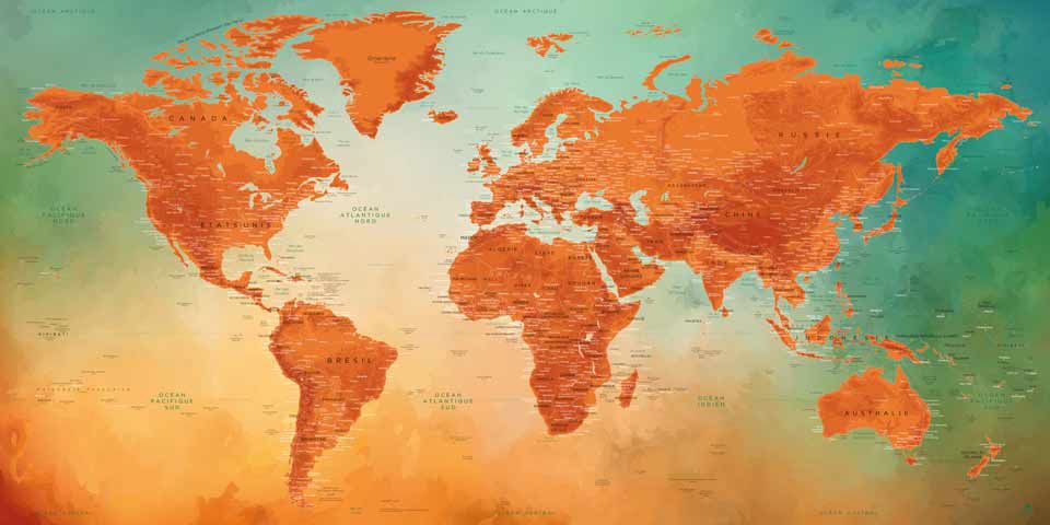
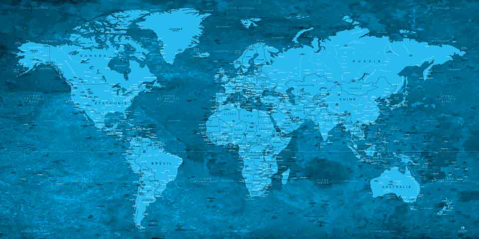
TRAVEL WITH OUR WORLD MAPS
Roraima World Map
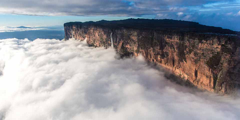
Roraima (Brazil, Guyana and Venezuela)
Mount Roraima straddling 3 South American countries, Brazil, Guyana and Venezuela, is called a tepuy. A tepuy is a mountain with a high plateau and particularly steep edges, which gives it a very characteristic and rather impressive shape. Roraima, 2810 meters high, is one of the most popular peaks for walkers because of its uniqueness.
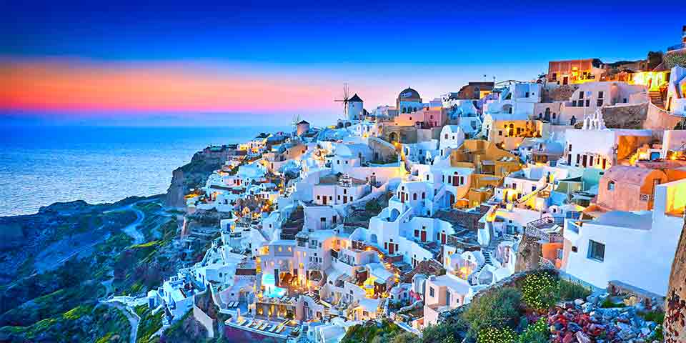
Santorini World Map
Santorini (Greece)
The island of Greece in the Aegean Sea, Santorini experienced a destructive volcanic eruption several millennia ago, the traces of which are visible today. Its villages, made up of white houses with blue domes, perched at the top of the cliffs, offer splendid views of the other islands of the archipelago to which Santorini belongs, which makes it so beautiful and famous today.
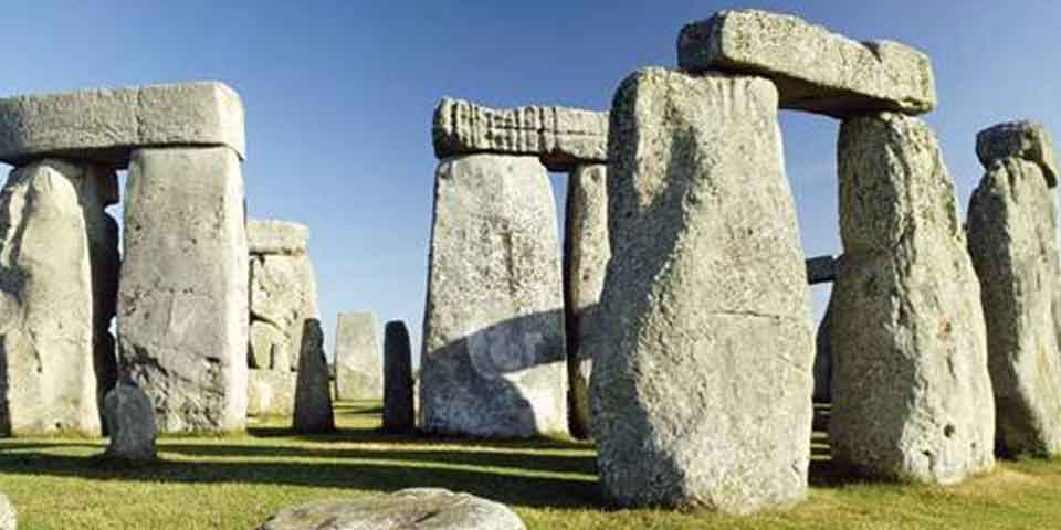
Stonehenge World Map
Stonehenge (England)
Built several millennia ago, Stonehenge is one of those sites known as megalithic monuments. This learned word refers to a set of megaliths, or structures made up of several large stones without cement or mortar to fix them. Since its study by historians, astronomers, archaeologists and many others, Stonehenge has been surrounded by many legends.
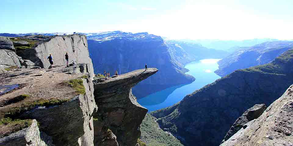
Troltunga World Map
Trolltunga (Norway)
Trolltunga, a Norwegian word meaning “the language of the troll”, is the prominence of a Norwegian cliff overlooking Lake Ringedalsvatnet several hundred metres high in the southwest of the country. No protection is installed to preserve the beauty of the site, which leaves the site with all its original charm.
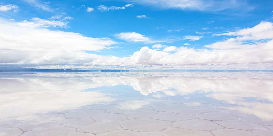
Uyuni World Map
Uyuni (Bolivia)
El Salar de Uyuni is a large salt desert located in Bolivia, on one of the highest inhabited plateaus in the world, after Tibet. In the heart of the Andes Cordillera, it is also the largest salt desert in the world. Brushed by constant winds, it can be flooded on its absolutely flat areas, several tens of centimetres of water by the rains at the beginning of the year.
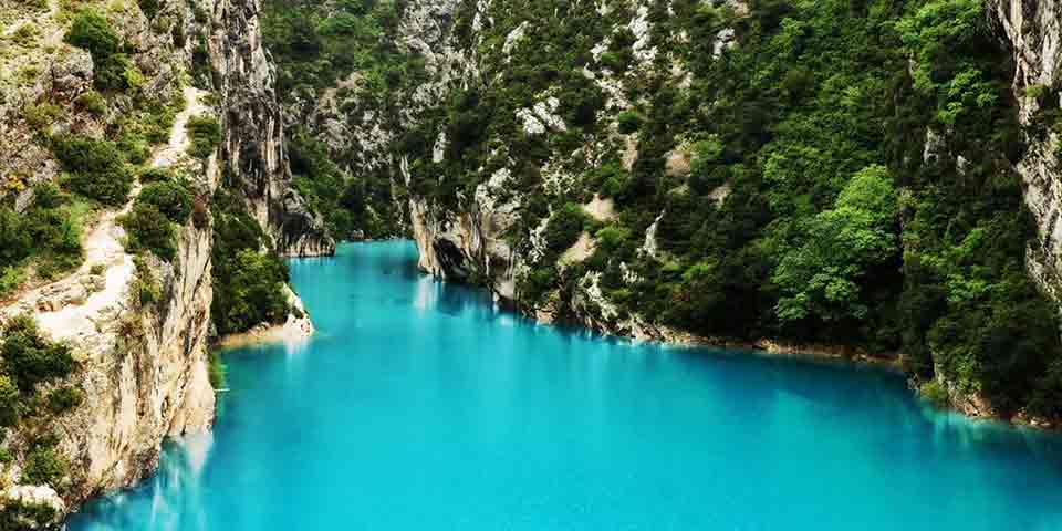
Verdon World Map
Verdon (France)
Verdon Gorge is a canyon dug over time by a river bearing the same name. The site has long been unknown because of its unique accessibility by small mule tracks. Today it is considered as the most beautiful canyon in Europe.
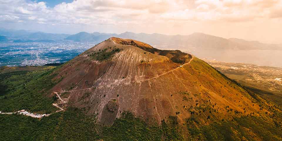
Vesuvius World Map
Vesuvius (Italy)
Mount Vesuvius is a still active volcano from Italy near Naples. It is at the origin of the destruction of many cities, including the very famous and tragic city of Pompeii. It is now considered one of the most dangerous volcanoes on the planet due to its many explosions over the last few thousand years, not to mention the large population at its side.
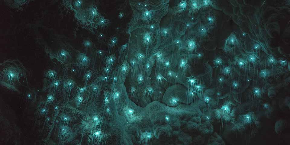
Waitomo World Map
Waitomo (New Zealand)
The Waitomo Caves form a complex of many caves in northern New Zealand, dating back more than 20 million years, a time when New Zealand was still lying on the seabed. Many of these caves are reserved for speleologists, but some of them are accessible and known for their bioluminescence. Glow worms are at the origin of it, offering the spectacle of a magical celestial vault.